


Fire and Ice Geopark app for iPhone and iPad
Islands colliding with continents. Land rising up and mountains falling down. Glaciers scouring valleys and volcanoes erupting through the ice. Over the past 200 million years, these processes have created the globally unique landscape of British Columbia’s Sea to Sky Fire & Ice Geopark. But it’s far from over: the area remains the most geologically active in Canada.
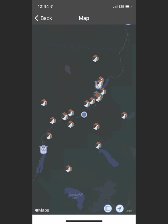
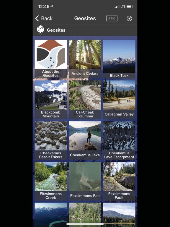
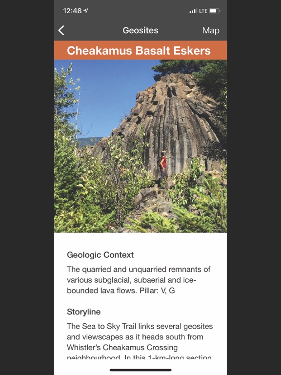
From coastal rainforest to the peaks of the Garibaldi Volcanic Belt, from the Cheakamus lava flows to Keyhole Falls, and from the underwater moraine of Porteau Cove to the steaming fumaroles of Mt. Meager, some 60 geosites tell an end-to-end story of ongoing plate tectonics, glaciation, volcanism and collapse. A place where people have not only adapted to a diverse, dramatic and dynamic landscape, but embraced it both for livelihood and recreation.
Long before the towns of Squamish, Whistler and Pemberton were situated here, the region was a unique shared territory of the Squamish and Lil’Wat First Nations, its skyline landforms reflecting key cultural origin stories—like the Stawamus Chief, a mythological being transformed to stone, and the Black Tusk, landing place of a supernatural thunderbird.
The Fire & Ice Geopark App offers a passport not only to this intriguing past, but an ever-evolving present.